Maps
-

Canyons Of The Escalante #710
National Geographic
MSRP: $14.95$9.56At over 1.7 million acres, Grand Staircase–Escalante National Monument encompasses the largest land area of all national monuments in the United States. National Geographic’s Trails Illustrated map of Canyons of the Escalante delivers...MSRP: $14.95$9.56 -

Acadia National Park Map #212
National Geographic
MSRP: $14.95$9.56National Geographic’s Trails Illustrated map of Acadia National Park is designed to meet the needs of all visitors who wish to explore the islands and bodies of water of this national park. Expertly researched and created in partnership with the...MSRP: $14.95$9.56 -

Wasatch Front North #709
National Geographic
MSRP: $14.95$9.56Year-round activities abound along Utah’s Wasatch Front region. \nNational Geographic’s Trails Illustrated map of Wasatch Front North provides unmatched detail of the northern half of this region to meet the needs of amateur and experienced...MSRP: $14.95$9.56 -
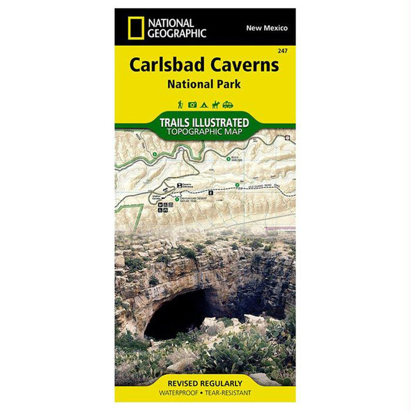
Carlsbad Caverns National Park #247
National Geographic
MSRP: $14.95$9.56National Geographic's Trails Illustrated map of Carlsbad Caverns National Park is the most comprehensive map available for those exploring both above and below ground in the beautiful section of the Guadalupe Mountains in southeastern New Mexico...MSRP: $14.95$9.56 -
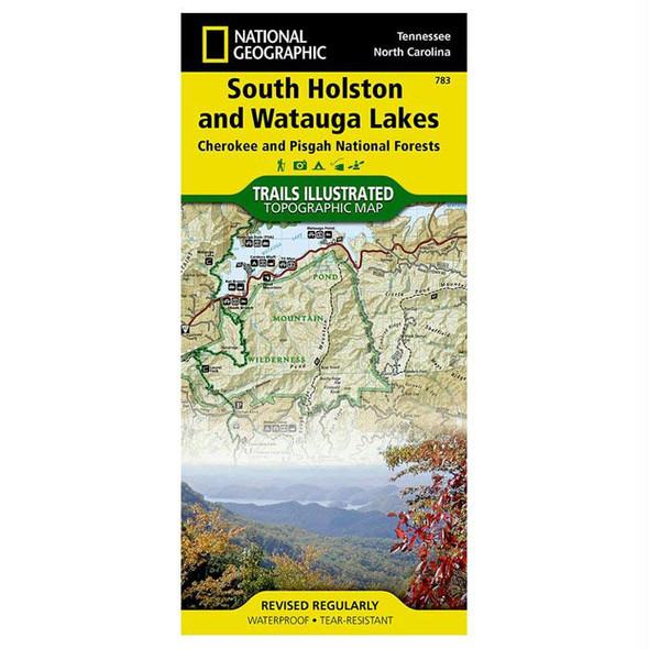
South Holston & Watauga #783
National Geographic
MSRP: $14.95$9.56National Geographic’s Trails Illustrated map of South Holston and Watauga Lakes is an essential travel companion for all outdoor enthusiasts seeking recreational opportunities in the mountains of eastern Tennessee. Expertly researched and created in...MSRP: $14.95$9.56 -
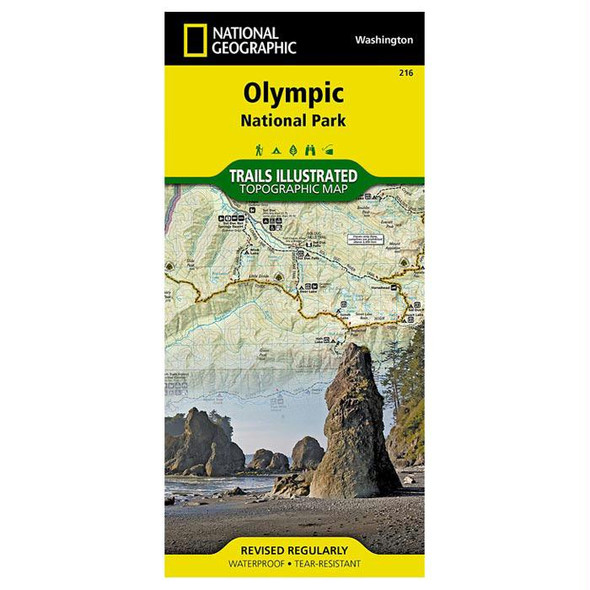
Olympic National Park #216
National Geographic
MSRP: $14.95$9.56Olympic National Park encompasses four distinctly different ecosystems in its nearly one million acres. National Geographic’s Trails Illustrated map of Olympic National Park offers outdoors enthusiasts a valuable tool for exploring the park’s...MSRP: $14.95$9.56 -

Baxter St Prk/Mt Katahdin #754
National Geographic
MSRP: $14.95$9.56Governor Percival P. Baxter so enjoyed vacationing in the Maine woods as a child, he purchased nearly 6,000 acres of land in 1930 to fulfill his dream of creating a park. The park that bears his name now covers 209,501 acres and includes Mount...MSRP: $14.95$9.56 -
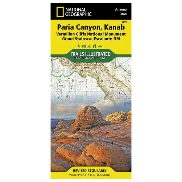
Vermillion Clfs,Paria Cyn #859
National Geographic
MSRP: $14.95$9.56Straddling the border of Arizona and Utah, the Paria Canyon–Vermilion Cliffs Wilderness is a colorful landscape of sandstone cliffs, slot canyons, and winding waterways. National Geographic’s Trails Illustrated map of Paria Canyon and Kanab...MSRP: $14.95$9.56 -

Idaho Recreation Map
Benchmark
MSRP: $7.95$6.36Atlases: Every Benchmark atlas is specially designed for enthusiasts of hunting, fishing, camping, boating, hiking, and other outdoor activities. All atlases have Benchmark’s exclusive Landscape Maps with large easy-to-read and page overlap, and a useful...MSRP: $7.95$6.36 -
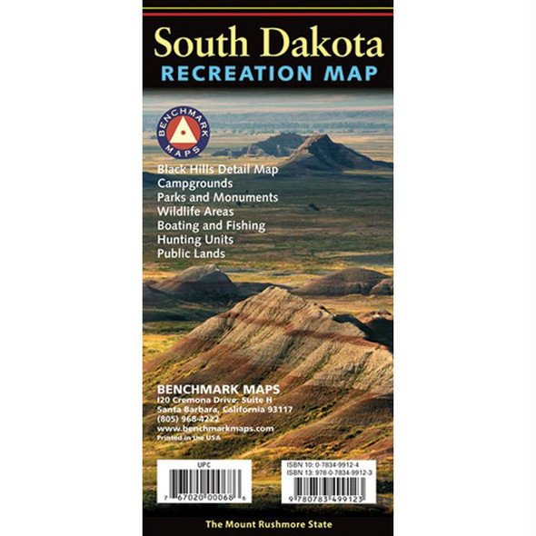
South Dakota Recreation Map
Benchmark
MSRP: $7.95$6.36Atlases: Every Benchmark atlas is specially designed for enthusiasts of hunting, fishing, camping, boating, hiking, and other outdoor activities. All atlases have Benchmark’s exclusive Landscape Maps with large easy-to-read and page overlap, and a useful...MSRP: $7.95$6.36 -

French Broad & Nolichucky #782
National Geographic
MSRP: $14.95$9.56Outdoor enthusiasts seeking to explore the western parts of Cherokee and Pisgah National Forests will find National Geographic’s Trails Illustrated map of French Broad and Nolichucky Rivers a complete guide to the area. Expertly researched and...MSRP: $14.95$9.56 -

Pikes Peak/Canon City #137
National Geographic
MSRP: $14.95$9.56The highest summit in the southern Front Range of the Rocky Mountains, Pikes Peak towers over Colorado Springs like a granite sentinel. Explore this and other geological attractions such as Garden of the Gods, Florrisant Fossil Beds, and the Royal...MSRP: $14.95$9.56
